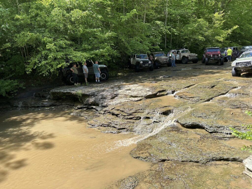
Water Falls (Bowen Ridge Rd)
2.3 Miles
Time to Complete Trail: About 30 minutes
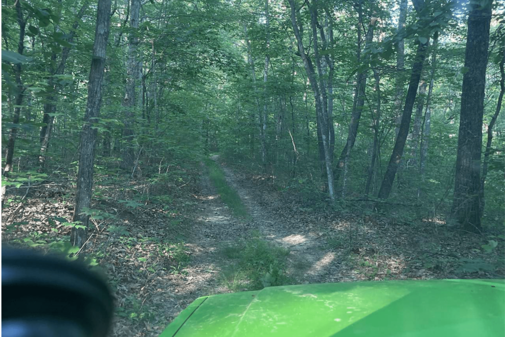
Trail Info: The trail is located off of Chestnut Flat Rd in Kerby Knob In Jackson County Ky. This can be a one way trail. You can go in back out the same way you you can keep going past the fails and come back out onto Chestnut Flat Rd.
**Please note that the GPX file is only the trail going in and coming back out and not the loop. We will get the updated full trail once we get it mapped out.**
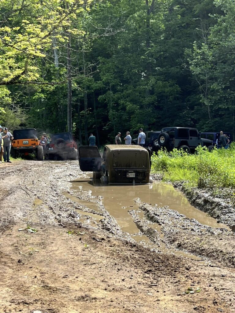
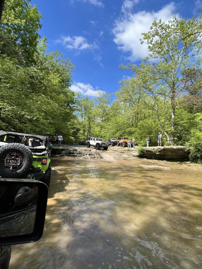
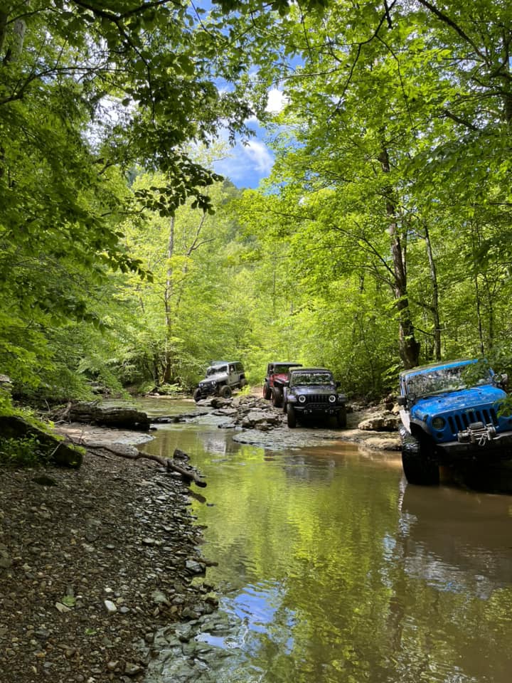
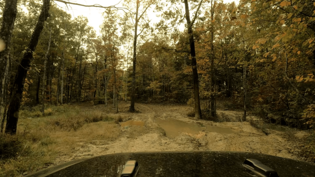
The trail consists of the following conditions:
- Gravel Road
- Dirt Trail
- Rough Trail (rocks, drop offs, tree limbs, mud)
- Huge drop offs
- steep drop downs
- mud pits
Download GPX File